Maintenance Decision Support System (MDSS®)

Controlling snow and ice buildup on roadways during winter weather events presents several challenges for winter maintenance personnel. Among these challenges is the need to make effective winter maintenance decisions (treatment types, timing, rates, and locations), as these decisions have a considerable impact on roadway safety and efficiency. Additionally, poor decisions can have adverse economic and environmental consequences. In an effort to mitigate the challenges associated with winter maintenance decisions, the Federal Highway Administration (FHWA) Office of Transportation Operations (HOTO) initiated a program in 2001 aimed at developing a winter road Maintenance Decision Support System (MDSS®).

The MDSS® project goal is to develop a prototype capability that:
- Capitalizes on existing road and weather data sources
- Augments data sources where they are weak or where improved accuracy could significantly improve the decision–making task
- Fuses data to make an open, integrated and understandable presentation of current environmental and road conditions
- Processes data to generate diagnostic and prognostic maps of road conditions along road corridors, with emphasis on the 1–to 48–hour horizon (historical information from the previous 48 hours will also be available)
- Provides a display capability on the state of the atmosphere and roadway
- Provides a decision support tool, which provides recommendations on road maintenance courses of action
- Provides all of the above on a single platform, with simple and intuitive operating requirements, and does so in a readily comprehensible display of results and recommended courses of action, together with anticipated consequences of action or inaction
Funding
Technology
MDSS® Prototype Technical Overview
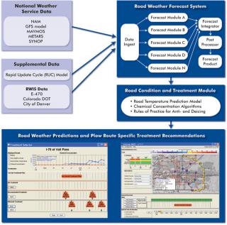
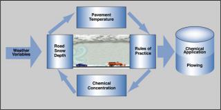
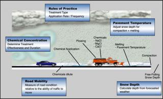
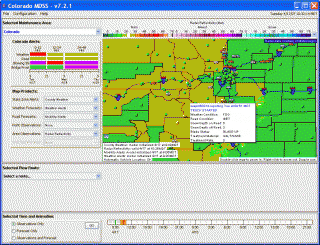
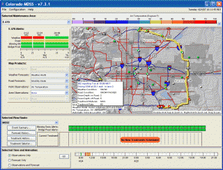
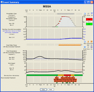
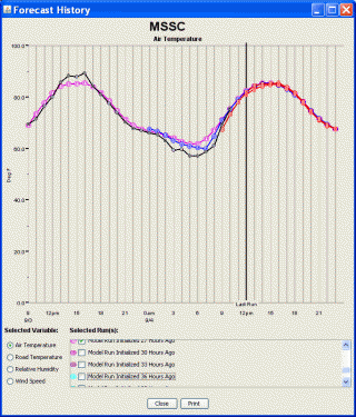
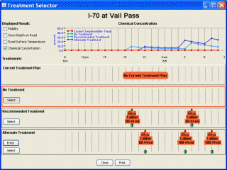
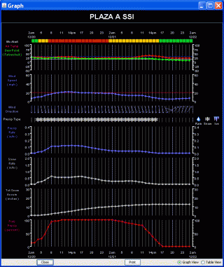
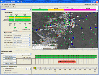
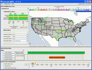
The MDSS® ingests weather forecast data at locations important to the user’s operations. These forecast locations are typically at surface observation stations such as RWIS and METAR sites, though they need not be. The weather forecasts at each forecast location serve as input to the pavement heat balance model (e.g., METRo) that predicts the road surface and subsurface temperatures and the snow depth at each forecast lead-time. These forecast road conditions are used to generate treatment plans at each site based on Rules of Practice guidelines. The prototype MDSS® also includes a graphical user interface display designed for easy interpretation by road maintenance managers. This display application is designed to allow the maintenance manager to generate “what-if” scenarios by setting up customized treatment plans and seeing the resulting predicted road conditions.
Operations
MDSS® Screen Views
