Atmospheric Surface Measurements and Evaluation
Atmospheric Surface Measurements and Evaluation
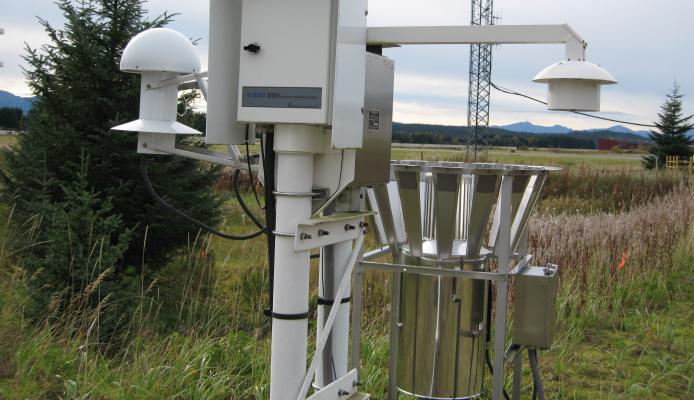
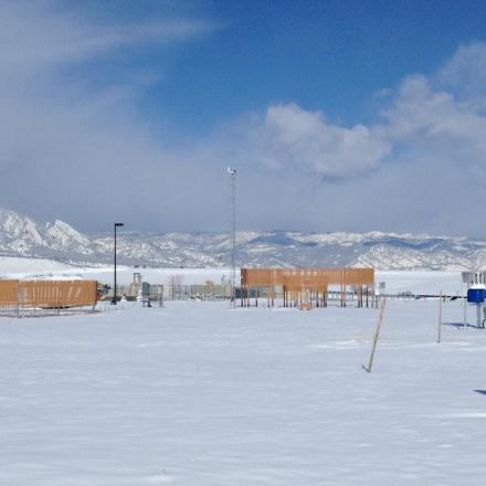
Measuring precipitation seems relatively straightforward: water falls into a bucket and measurements of depth, volume and weight are then taken. For rainfall, it is almost this easy, however, measuring snowfall and snow depth is much more challenging. The environment, especially wind, has a far greater impact on the accuracy of a snow measurement than on a rainfall measurement. The Marshall Field Site, located five miles south of Boulder, Colorado, is a wind-swept, NCAR-owned site used to test and evaluate new and current atmospheric surface instrumentation, such as precipitation gauges and wind shields.
Decades ago at the Marshall Field Site, NCAR scientists focused on accurate precipitation measurements and liquid-water equivalent research. This seminal work led to a greater understanding of liquid and solid precipitation, its influence on an aircraft, and resulted in the development of a lifesaving aircraft deicing system. Realizing the bounty of research and testing opportunities at Marshall, NCAR experts broadened their research scope, installing and testing other meteorological instruments on behalf of various agencies, international partners and private companies and manufacturers.
Opportunities abound at Marshall. For example, with the advent of drones and the capability to put instrumentations on them, the unmanned aircraft systems (UAS) community could benefit from the Marshall site as a testing ground. When real weather conditions are needed for safe testing, Marshall is an excellent facility and resource to the meteorological community. In a 24-hour period, conditions at NCAR’s Marshall Field Site can range from calm, dry and temperate to gusty, sleety and frigid. This outdoor lab has successfully served researchers, manufacturers testing their wares, and agencies whose missions are dedicated to the protection of lives and property.
Contact
Scott Landolt
Director, Transportation Meteorology Applications Program