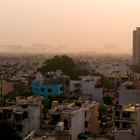
National Security Impacts

Atmospheric releases of hazardous materials, either accidental or intentional, pose a viable threat to both United States citizens, as well as to citizens and troops abroad.  To counter this threat, RAL is actively researching and developing novel techniques and systems that can more accurately simulate the atmospheric state and evolution of the released material in both time and space. The capability to model and visualize source dispersion and the effects is critical for planning, real-time response, and forensic purposes.

Benefits and Impacts

Saving money, power and time with this LES modeling method. A viable tool for microscale operational, educational, and more comprehensive research applications.

FINECAST® serves a wide range of meteorological applications, such as severe-weather nowcasting, wind-power prediction, and hazardous-chemical detection, to name only a few. The true value of the model is that it can produce these analyses in mere minutes, delivering timely results to decision makers, forecasters, and utility managers. 

The system helps decision-makers mitigate the risk of air pollution in Delhi and surrounding regions. The technology may be adapted to provide air quality forecasts for other polluted areas in developing countries, as well as for cities in the United States.

This technology was successfully integrated into the US Department of Defense (DoD) emergency response modeling systems—HPAC (Hazard Prediction and Assessment Capability) and JEM (Joint Effects Model) in 2012.

The AnEn outperform a power prediction based on the European Center for Medium range Weather Forecasting (ECMWF) ensemble wind predictions, a leading in operational forecasting at a fraction of the cost. AnEn provides forecasters, decision makers, and emergency managers with accurate information to save lives and property.

This data assimilation system was designed to take advantage of local weather observations and has been used to improve weather forecasts and historical climate analyses for the US Army Test Ranges, wind energy prediction systems, and geospatial intelligence applications. 

Knowledge of detailed predicted and actual weather conditions saves the Army millions of dollars annually. NCAR has since adapted the system and created derivative technologies for use by other organizations.

Contact

Please direct questions/comments about this page to:

Scott Swerdlin

Director, National Security Applications Program

email