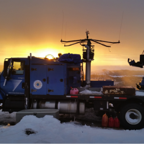
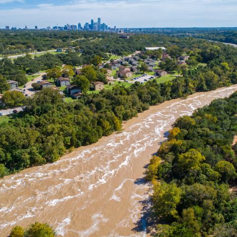
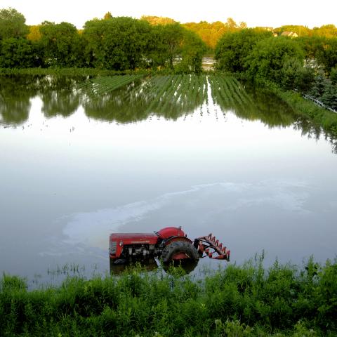
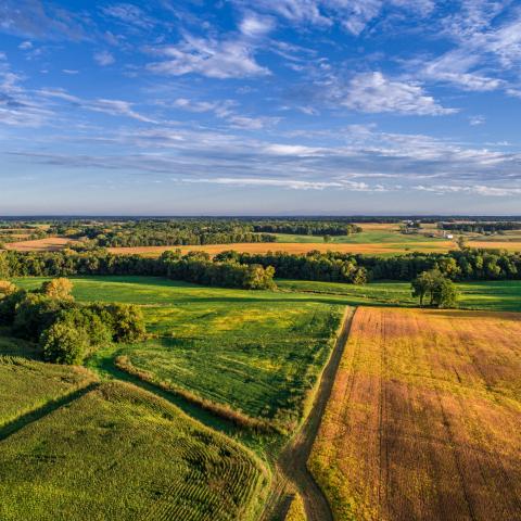
Water Impacts

We deliver relevant and timely information about the world’s complex water system, assisting water-resource planners and managers to address issues such as water supply, flooding, droughts, reservoir operations, emergency response, to name just a few. Our directed research and development, including several robust decision-support tools in hydrometeorology, aerosol-precipitation interactions, short-term precipitation nowcasting, cloud microphysical modeling, winter weather, and observational networks, are being implemented and deployed in countless arenas by researchers, water resource utility managers, and decision makers worldwide.

Benefits and Impacts

The model serves a wide range of meteorological applications across scales from tens of meters to thousands of kilometers. WRF has thousands of users around the world.

A custom configuration of WRF-Hydro® was adopted by the U.S. National Weather Service in 2016 as the operational NOAA National Water Model (NWM), which continuously forecasts hydrologic risk across the contiguous United States, Hawaii, Puerto Rico, and South-Central Alaska. In the contiguous U.S. alone, the NWM expanded hydrologic forecasting coverage from about 3,800 locations to over 2.7 million, providing critical guidance to local forecasters and emergency responders, particularly in traditionally "hydro blind" areas. The NWM aided forecasting and response operations in Texas during 2017 Hurricane Harvey, in the Midwest during the 2019 floods, in Puerto Rico during 2022 Hurricane Fiona, and in North Carolina and Tennessee during 2024 Hurricane Helene, among others.

WRF-Hydro® also provides operational flood forecasts for Israel and the United Arab Emirates, as well as community research in flood prediction and risk assessments in many locations around the globe.

This technology is an important component of advanced weather and hydrological prediction.

WEAP is currently used by several thousand water resource managers in the U.S. and in 170 countries around the world.