Climate Inspector

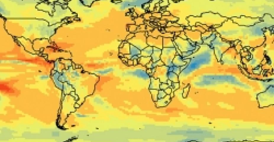
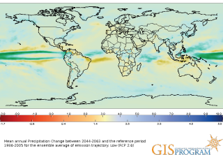
The Climate Inspector is an interactive web application which expands GIS mapping and graphing capabilities to visualize possible temperature and precipitation changes throughout the 21st century. The maps and graphs are generated from a large dataset of climate simulations by the NCAR Community Climate System Model (CCSM4). These simulations were prepared for the 5th Assessment Report of the Intergovernmental Panel on Climate Change.
With Climate Inspector you can explore how temperature and precipitation may change based on different emission trajectories (i.e., Representative Concentration Pathways), investigate climate changes around the globe and through time, inspect climate trends, variability and uncertainty, and download maps and data. Here you can download temporal climate data for a single grid cell.
Contact
Please direct questions/comments about this page to:
Olga Wilhelmi
Head of GIS Program
