GIS Climate Scenarios
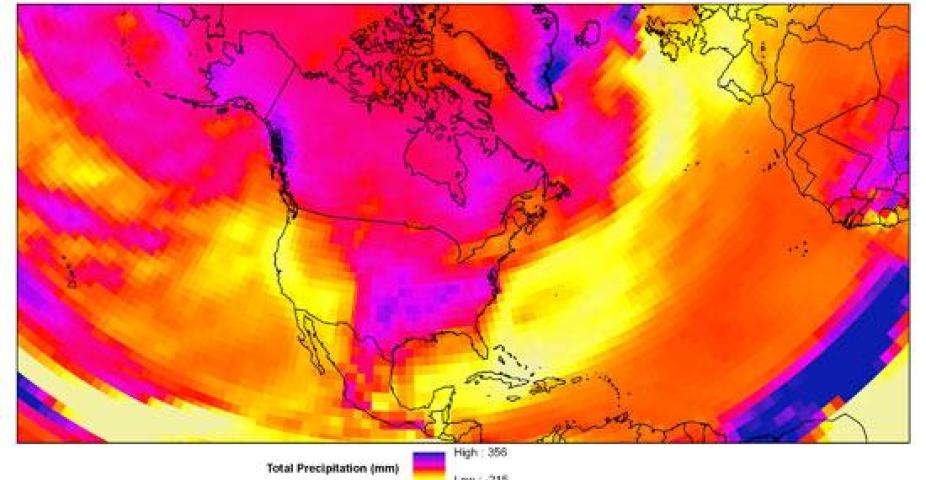
The NCAR's GIS Program Climate Scenarios GIS data portal is intended to serve a community of GIS users interested in climate change. The free datasets of climate change projections can be downloaded as a shapefile, a text file, or as an image. Many 2D variables from modeled projected climate are available for the atmosphere and land surface. These climate change projections were generated by the NCAR Community Climate System Model, or CCSM, for the 4th Assessment Report of the Intergovernmental Panel on Climate Change (IPCC).
Contact
Please direct questions/comments about this page to:
Olga Wilhelmi
Head of GIS Program