NCAR Turbulence Detection Algorithm (NTDA)


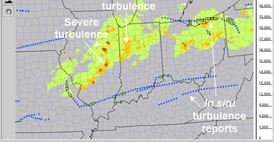
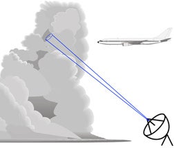
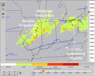
Making use of the wind variability data provided by Doppler weather radars, RAL scientists have developed and tested the NCAR Turbulence Detection Algorithm (NTDA), designed for use on the nation's network of NEXRAD radars. The NTDA utilizes NEXRAD Level II data – the reflectivity, radial velocity, and spectrum width – to perform data quality control and produce atmospheric turbulence intensity (eddy dissipation rate, EDR) measurements of "in–cloud" turbulence. The expert system combines multiple modules for quality control and turbulence estimation using a "fuzzy logic" methodology to produce a final EDR and associated quality control index, or confidence. By providing direct detection of turbulence, NTDA provides an important addition to radar reflectivity as an indication of in–cloud aviation hazards. NTDA development has been funded by the FAA's Aviation Weather Research Program.

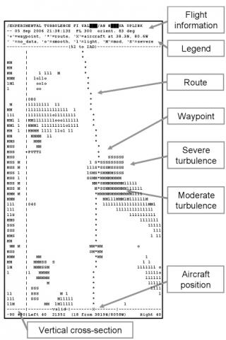
The first version of the algorithm, NTDA–1, was delivered to the NWS Radar Operations Center and deployed on all NEXRADs in 2008. The next version, NTDA–2, accommodates recent NEXRAD changes and is targeted for deployment in the 2012–2013 timeframe. A prototype version, running in real–time at NCAR, processes Level II data from 133 NEXRADs around the U.S. and produces a 3–D mosaic of in–cloud EDR updated every 5 min. In addition to possible direct use by pilots, airline dispatchers and air traffic control meteorologists, the NTDA data are being incorporated into a new Graphical Turbulence Guidance Nowcast (GTGN®) product. Given the highly transient and spatially variable nature of in–cloud turbulence, maximum benefit of the NTDA product can be achieved if pilots can receive this information in the cockpit in nearly real time. This capability has been demonstrated in collaboration with United Airlines: character graphics depictions of in–cloud turbulence 100 miles ahead and 40 miles to either side of the planned route were uplinked to selected United Airlines flights via ACARS. Pilots indicated that this information could be very useful for making tactical decisions near storms, suggesting that this product could improve airline safety while reducing delays due to unneeded deviations.
