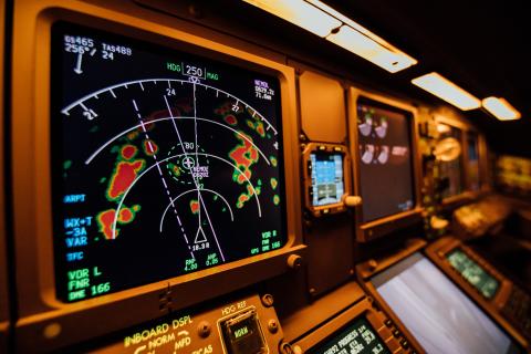
Focus Areas of Research

Weather Expertise
Applying scientific rigor to understand and predict atmospheric processes that generate weather hazards to aviation.
- Summer & Winter Storms
- Wind & Wind Shear
- Turbulence
- Icing
- Ceiling & Visibility
- Volcanic Ash & Space Weather

Operational Weather Sensitivities
Assessing weather sensitivities of flight operations through stakeholder engagement to collaboratively determine needs and requirements for enhanced weather guidance.
- Commercial, Business, & General Aviation
- Uncrewed Aerial Systems & Urban Air Mobility
- Space Launch & Travel

Actionable Weather Guidance
Developing weather and associated impact guidance to support operational decisions under uncertainty.
- Airports, Heliports & Vertiports, etc.
- En Route – Troposphere
- Low Altitude – Atmospheric Boundary Layer
- High Altitude – Stratosphere

Benefits Assessment
Science Serving Society requires in-depth evaluation of the weather impact guidance accuracy as well as the actions undertaken based on utilizing that guidance.
- Weather Prediction Accuracy
- Impact Prediction Accuracy
- Decision Making Effectiveness

Foundational Capabilities
Our broad scientific and technical expertise builds on many enabling capabilities.
- Data Services
- Visualization
- Numerical Weather Prediction
- Algorithms
- Turnkey Systems
- Consulting, Training & Outreach