Skip to main content
Main navigation
Research Applications Laboratory
Contact Us
Search RAL
About
Leadership
Programs
Education + Outreach
Ethics + Integrity
Staff
Awards and Patents
RAL Advisory Panel
Fact Sheets
Contact
Publications
What We Do
Agriculture + Food
Air Quality
Aviation
Climate
Human Health
Maritime
Rail
Renewable Energy
Road Weather
Testing + Evaluation
Tropical Cyclones
Urban Weather
Water
Wildfire
Products + Tools
Technologies
Artificial Intelligence and Machine Learning
Atmospheric Surface Measurements and Evaluation
Cloud Computing and Software Containers
Data Assimilation
Data Services
Decision Support Systems
Forecasting Systems
Geographic Information Systems (GIS) Science
Measuring Forecast Quality
Regional Climate Analysis and Impact
Specialty Models
Impacts
Overview
Agriculture + Food Impacts
Air Quality Impacts
Aviation Impacts
Climate Impacts
Tropical Cyclones Impacts
Human Health Impacts
Maritime Impacts
Rail Impacts
Renewable Energy Impacts
Road Weather Impacts
Testing + Evaluation Impacts
Urban Weather Impacts
Water Impacts
Wildfire Impacts
Work With Us
Community Collaboration
Internships and Fellowships
Licensing for Technology Transfer
Partner With Us
Sponsors
Visitor Programs
Workshops and Tutorials
Jobs
Events
Upcoming
Past
Live Broadcast
News
Search RAL
Contact Us
Aviation Products and Tools
Search by Title
Experimental Aviation Digital Data Service (ADDS)
Helicopter Emergency Medical Services (HEMS)
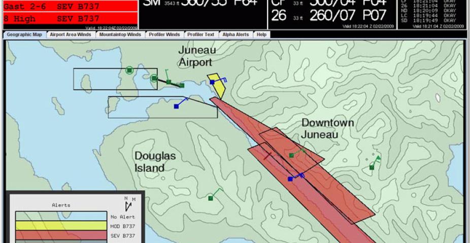
Juneau Airport Wind System (JAWS)
Operational Aviation Digital Data Service (ADDS)
AutoNowcaster
Fine-Scale Analysis and Nowcast System (FINECAST®)
Advanced Operational Aviation Weather System (AOAWS)
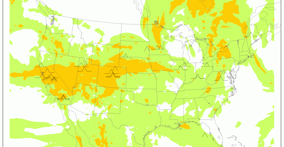
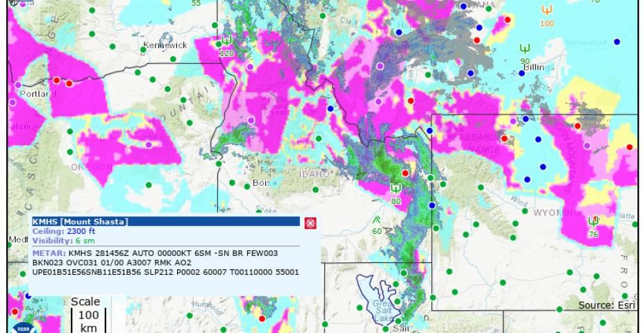
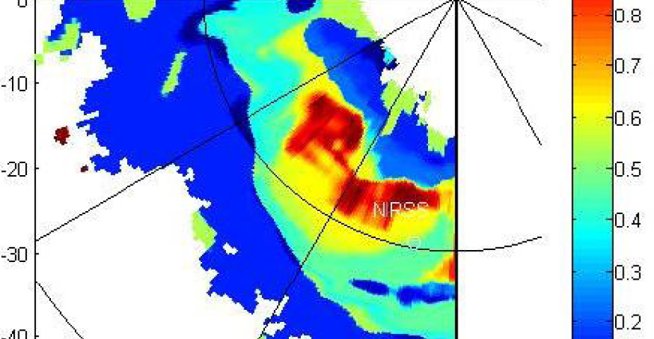
Icing Products (CIP/FIP) - Operational
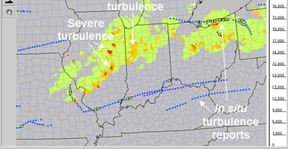
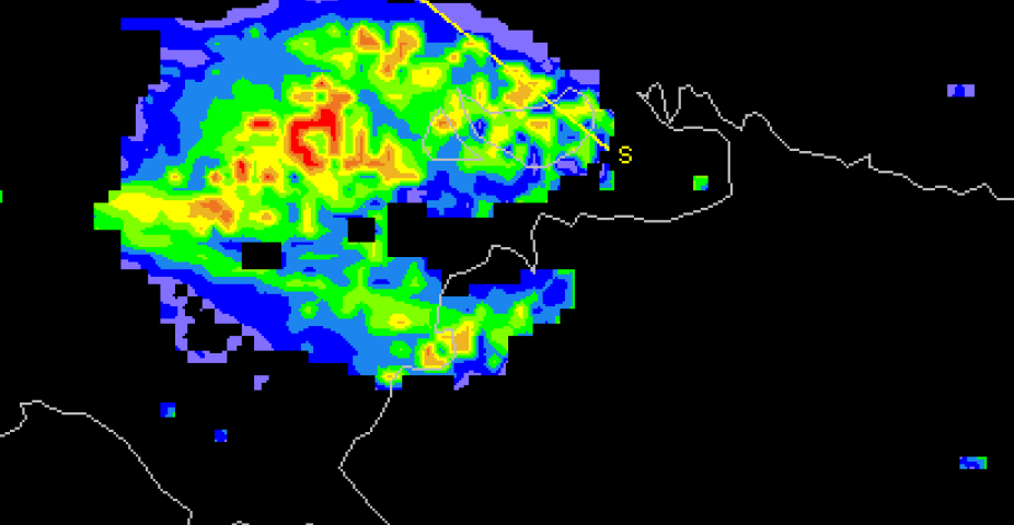
Diagnose Convectively–Induced Turbulence (DCIT)
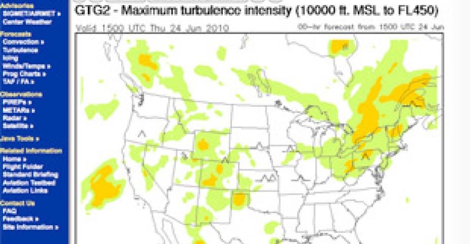
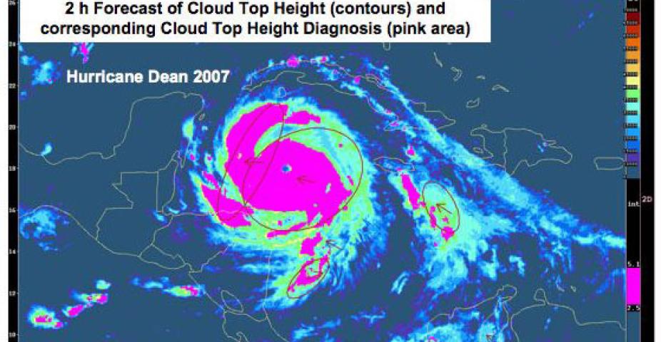
Graphical Turbulence Product (GTG-3)
In-Situ Turbulence Diagnosis
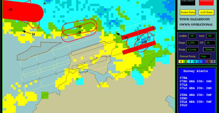
Low-Level Wind Shear Alert System (LLWAS)
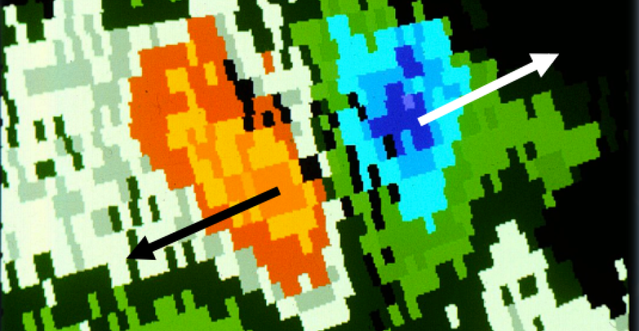
NCAR Turbulence Detection Algorithm (NTDA)
Oceanic Convection and Nowcasting Hazards
Wind Shear System Consultancy Services
Windshear and Turbulence Warning System (WTWS)
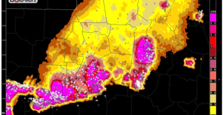
Lightning Potential - BoltAlert®
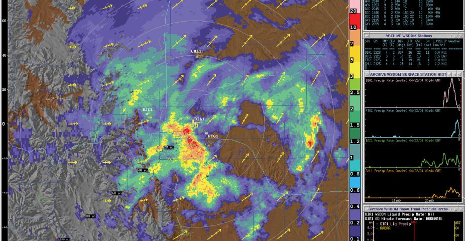
Weather Support to Deicing Decision Making (WSDDM®)
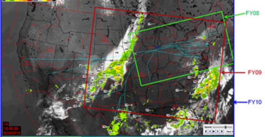
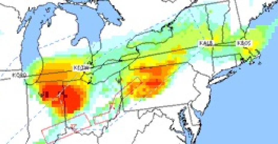
Consolidated Storm Prediction for Aviation (CoSPA)
Maintenance Decision Support System (MDSS®)
Dynamic Integrated foreCast (DICast®) System
GRAFS (GRidded Atmospheric Forecast System)
Radar Icing Algorithm (RadIA)
Algorithm for Predicting High ice water content Areas (ALPHA)
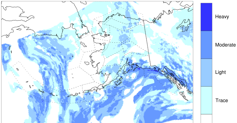
Icing Product Alaska (IPA) - Experimental
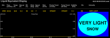
Liquid Water Equivalent (LWE) system
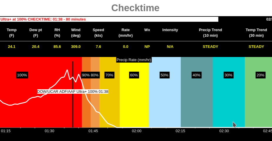
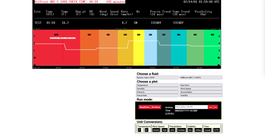
Checktime®
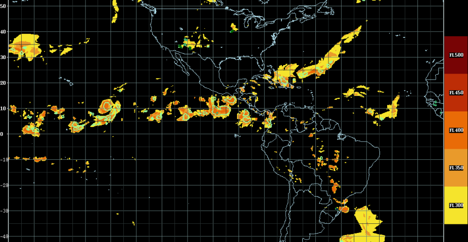
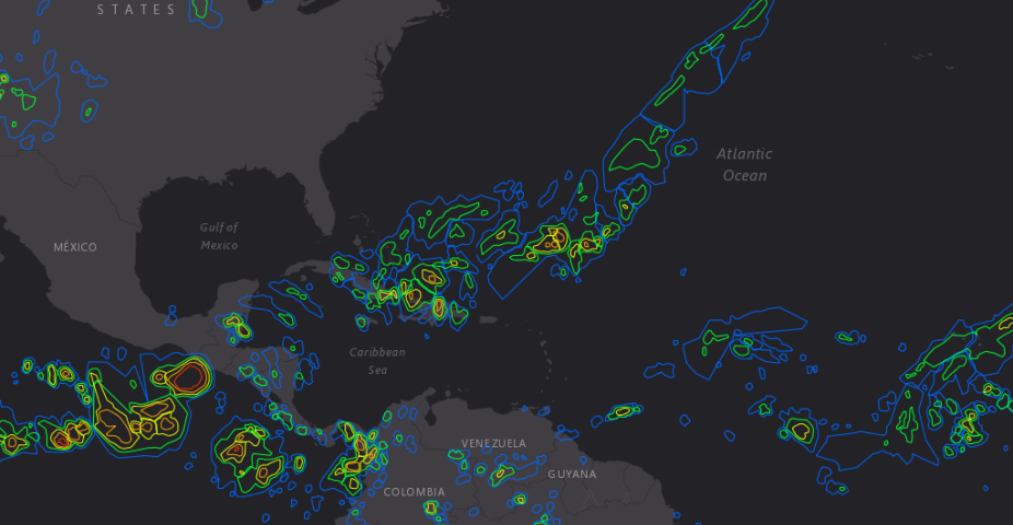
Oceanic Convection Diagnosis Products
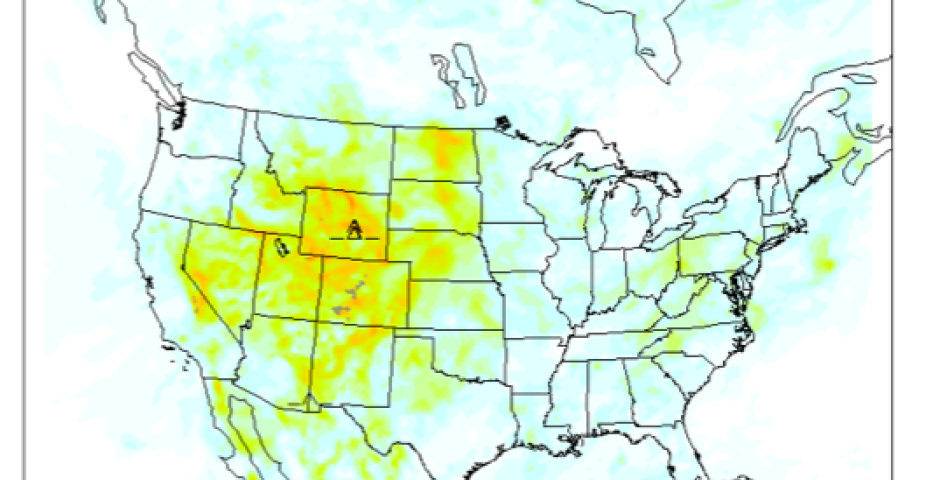
Global Weather Viewer
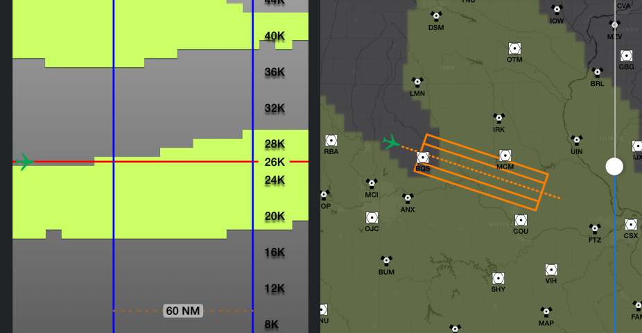
Flight Path Tool
RTFDDA-LES
ROMIO
FastEddy®
Runway Friction and Closure Prediction System (RFCPS)
Graphical Turbulence Guidance Nowcast (GTGN™)
Global Weather Notification
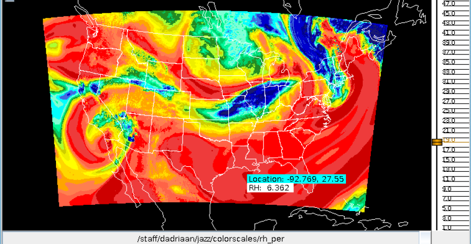
Jazz - Data Visualization
Checkcast®
UAM Weather Analysis
RAL's Realtime Weather Data