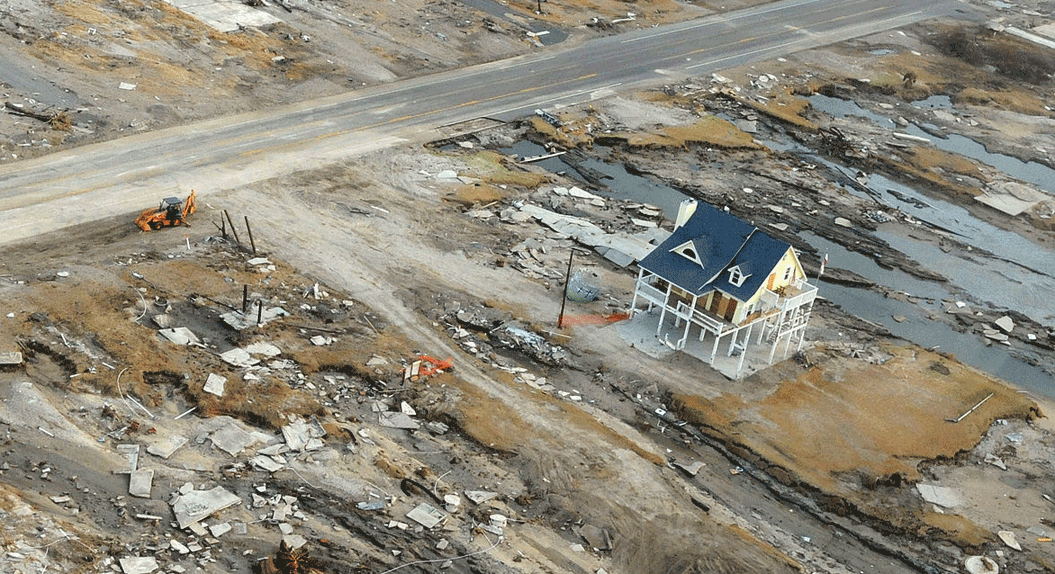
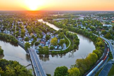
Breadcrumb Home News Communicating coastal storm risks through a sense of place Aug 15, 2019 NCAR is leading a new project studying how maps and other visualizations can help communicate forecasts and help residents better understand the risks to their communities. See the Article Recent News Fields of thunderMay 28, 2026 Introducing FastEddy® 5.0May 20, 2026 New aviation weather system improves US air travel efficiency and safetyApr 8, 2026 WRF-Hydro Application for National Water Availability Assessment (NWAA)Apr 7, 2026 HUMID Aims to Reduce the Life-threatening Impacts of Extreme Urban HeatApr 2, 2026 NSF NCAR technologies keep travelers on the moveDec 22, 2025 RAL Welcomes New Program Directors to Lead Key Research AreasDec 22, 2025 Congratulations to Kimberly Fewless: UCAR’s next President’s Leadership FellowJan 28, 2026 Just Released! FastEddy® 4.0Oct 27, 2025