Early Warning Forecasts Speeding to Lake Victoria
The HIGH impact Weather LAke SYstem (HIGHWAY) Project
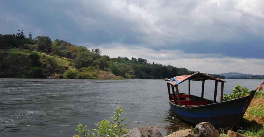
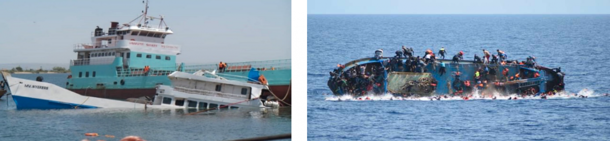
Countries bordering Lake Victoria, the largest freshwater body in Africa and the biggest inland fishery in the world, lack effective early warning systems to protect those who depend on them. According to the World Meteorological Organization (WMO), thousands of fishermen and small boat operators die on the lake each year; they get caught in deadly storms either because there is no weather warning, they do not receive the warning message, or the message is not presented clearly.
Photos Courtesy of Amos Christopher Ndoto of the Lake Victoria Basin Commission
That is about to change. A coordinated campaign to improve early warning systems and increase resilience to extreme weather is underway. The HIGH impact Weather LAke SYstem (HIGHWAY) Project is a three-year project that aims to increase the use of weather information to reduce the loss of life and damage to property in the Lake Victoria Basin region of East Africa.

This project will address the lack of much-needed in-situ observations and data availability, both for research and meteorological operational purposes. Enhanced observations will be used to build the scientific knowledge of storm initiation, evolution and development of severe weather over the lake, and provide additional guidance to operational forecasters to provide regular weather forecasts and severe-weather warnings for fishing boats and small transport vessels on Lake Victoria. Innovative nowcasting and forecasting products will be developed, validated, and implemented to improve early warnings of high-impact weather in the region, distributing these bulletins widely through the East African region via local radio and mobile phones.

NCAR/RAL are leading the Field Campaign component of the HIGHWAY project. The domain of the HIGHWAY Field Campaign and current instrumentation are shown to the right. The Field Campaign has three intensive observing periods from March-May 2019 and October-December 2019 during the rainy season and in July during the “drier” season. The desired outcome from the Field Campaign besides scientific understanding of the weather is the identification of the specific additional instrumentation and weather observations that will help to improve a regional Early Warning System for Lake Victoria Basin.
This project is sponsored by the United Kingdom’s Weather and Climate for Information Services (WISER) for Africa program under UK Department for International Development (DFID), providing funding to the National Meteorological and Hydrological Services (NMHSs) in the region, to the World Meteorological Organization (WMO), the UK Meteorological Office (UKMO) and to NCAR.