Go/No-Go

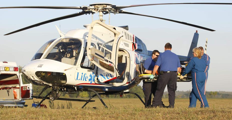
It’s rush hour. The bumper-to-bumper traffic is creeping on a foggy, drizzly day. A horrific car accident has left a person with internal bleeding, shock, and his condition is deteriorating rapidly; surgery is needed immediately. The closest level one trauma center is 95 miles away, a distance that could take almost two hours to cover on the ground by ambulance in the rush-hour traffic. The patient doesn’t have two hours; every second counts for his survival. An air ambulance or helicopter emergency medical service (HEMS) must be dispatched, but the weather is concerning for take-off and landing.
When someone is seriously injured or critically ill, emergency medical personnel need to decide whether transportation by ambulance or helicopter will get the patient to the trauma center sooner. Several factors must be weighed to make that decision:
- the time it would take to travel by ground to the nearest trauma center, including distance and traffic as opposed to the flight time and estimated time of arrival (ETA) of helicopter transport;
- specific, localized weather conditions (5,000 feet or below).
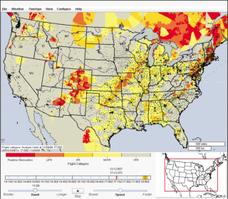
The Helicopter Emergency Medical Services (HEMS) Weather Tool is a valuable weather reporting system specially designed to meet the needs of air emergency first responders. It runs as a desktop application on a computer that allows operations to overlay multiple weather conditions at low altitudes: ceiling height, visibility, winds, relative humidity, temperature, and radar images. All 3D data are provided at ground-level altitudes and can be sliced horizontally on 500 ft intervals up to 5000 ft., and can be animated in real time.
"Unlike most part 121, 135 and GA pilots, HEMS pilots do not generally fly from airport to airport where consistent and reliable weather reporting is almost certain to exist. HEMS pilots operate in that in-between airspace where hospitals and emergency scenes abound and where dependable weather reporting is an extremely rare commodity. Over the past seven years the HEMS Weather Tool has proven itself time and again in helping fill in this dangerous and unpredictable weather void and in turn has allowed HEMS pilots to make better, more informed and safer decisions. The HEMS Weather Tool is on track to becoming one of the most indispensable weather safety reporting tools for not only HEMS pilots but for every aviator that fly below 5,000'."
--Rex Alexander, HEMS pilot for 20+ years.
NCAR has a long and successful history with the Federal Aviation Administration (FAA), NOAA, and other agencies with primary missions focused on safety, protection of life and property and efficiency. Its decades-long collaboration with the FAA goes back to the early 1980s when ground-breaking research was conducted on deadly microbursts that were taking airplanes down around airport terminals.
The HEMS tool is an extension of NCAR’s Aviation Digital Data Service (ADDS) program which provides pilots easy-to-use web access to a variety of critical aviation weather information. It was developed at the request of the FAA after a 2006 review of rescue helicopter crashes revealed that a lack of detailed weather information was often a factor. While good weather information is usually available near airports and large cities, no data are available for many other areas. It provides detailed information for low–altitude flights, including observations, forecasts, street–level maps in urban areas, and locations of helipads.
In May, the HEMS tool became an approved flight planning tool supported by the National Oceanic and Atmospheric Administration (NOAA).


